
Professor Paul Thursday-Why The US Is A Hotbed For Tornadoes
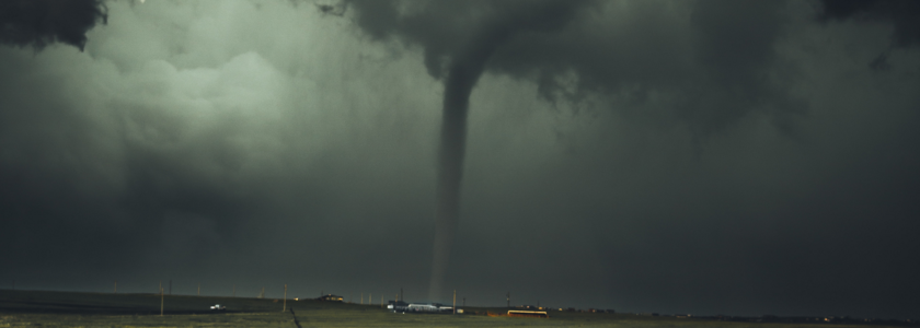
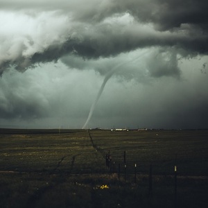
In most areas of the world, tornadoes are considered a rather unusual occurrence. Unfortunately, this is not the case for many areas of the US. The Plains region of the US sees the highest concentration of tornadoes annually. On average, 1200 tornadoes occur in the U.S. each year. Last year, the U.S. saw 1,376 confirmed tornado touchdowns. Texas and Alabama saw the most, with 118 and 100 respectively. Let's look into what factors make the Plains of the US a magnet for tornadic thunderstorms.
In order to understand why the US is the epicenter of tornadic activity, we must look at the favorable geography that resides in the Plains region of the lower 48. First, we focus our attention to the south, to the Gulf of Mexico. This body of water plays an integral part in setting the stage for any type of severe weather event. It is because of this large basin of 80 degree water, that moist, tropical air masses can be transported northward across the nation's mid-section. Looking to the north, cool and dry air masses are commonplace over central Canada. These types of air masses are therefore readily available during the spring and summer seasons. Lastly, we focus our attention to the west, where the Rocky Mountains lie. The Rocky Mountains act as a sponge for any moist air masses that come in off the Pacific Ocean. As Pacific-based systems head east across the Rockies, any moisture that hasn't already been squeezed out, is done so here before the systems enter the Plains. Because of this, the mid to upper levels of the atmosphere tend to be very dry across the Plains. To recap, humid, Gulf air is readily available to the south, bone-dry air masses routinely come off of the Rocky Mountains, and cool and dry air masses are easily tapped into over central Canada.
It is the juxtaposition of these opposing air masses that provides the energy needed for strong-to-severe storm development. However, the presence of atmospheric energy alone will not produce thunderstorms. A well-defined front, dry line, or low pressure system (or any combination of them) is also needed in order for this to happen. When low pressure systems emerge in the western Plains states, southerly winds develop ahead of them, drawing warm and humid air masses northward from the Gulf of Mexico. At the same time, these systems tap into the much cooler air masses found in Canada, that eventually build in on the north and northwest sides of the low. Lastly, dry air off the Rockies is transported eastward. The dividing lines between these varied air masses are what meteorologist's label as cold fronts, warm fronts, and dry lines. These boundaries serve as catalysts for storm development. Given the right combination of ingredients along one of these boundaries, strong thunderstorms will develop, along with the potential for tornadic activity.
The increased risk for severe storms during the spring and summer make it imperative to have a solid plan of what to do when severe weather strikes. Also, make a habit out of checking your local forecast from Weatherology or on the Weatherology app for iPhone or Android users to be forewarned when active weather patterns are expected.
The provided link illustrate where the greatest risk for tornadoes is during different times of the year. This is largely driven by where the jet stream position tends to be during the various points in the season.
https://www.spc.noaa.gov/new/SVRclimo/climo.php?parm=allTorn
(click the > symbol on the upper right to step through the different times of the year)


